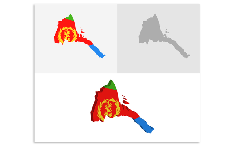
3D and Flat Eritrea Map - Vector Image

Description:
Vector map of the Eritrea drawn with high detail and accuracy.colored with flag tones.
It is a well organized file with many layers and you can change the 3d directions as you want and you can change the colors.
File Information:
—-—-—-—-—-—-—--
3D and Flat Eritrea map
Ai, EPS and JPG File
Fully Editable
300 dpi
RGB color system
Easy to Customize
—-—-—-—-—-—-—-
Please if you like this project, Vote 5 stars for it :)
thank you :)
Color: white, pink,
tags: atlas, border, capitals, cartography, chart, company, countries, country, education, geography, headquarters, layered, map, ocean, pins, route, stripes, infographic, dotted map, infographic map,
-
Free 24/7
Support Team -
Ready Solutions
For Business -
Premium
Quality -
1 200 000+
Satisfied Customers
| "Template #" 124480 | |
| Тип: | Vectors |
| Author: | Graphicsline |
| Downloads: | 0 |
$10
Live Demo
Buy
| Template # 124480 |
| Type: Vectors |
| Author: Graphicsline |
| Downloads: 0 |
Color: white, pink,
tags: atlas, border, capitals, cartography, chart, company, countries, country, education, geography, headquarters, layered, map, ocean, pins, route, stripes, infographic, dotted map, infographic map,
tags: atlas, border, capitals, cartography, chart, company, countries, country, education, geography, headquarters, layered, map, ocean, pins, route, stripes, infographic, dotted map, infographic map,


